Arkansas From Above: Drone Photography Reveals a Different Ozarks
Arkansas looks different when the viewpoint moves a few hundred feet above the ground. Streets become patterns, wooded hills reveal their contours, and familiar landmarks sit inside a much larger landscape. Aerial photography in Arkansas offers a compelling way to appreciate places travelers may otherwise pass without noticing.
A new perspective on familiar Northwest Arkansas places
In Fayetteville, the geometry of streets, neighborhoods and public spaces becomes more visible from the air. In Bentonville, a snowy downtown square can tell a story about architecture, weather and the shape of the community all at once. These aren’t imagined locations: the Drones Over Arkansas Bentonville photo collection documents the square after a snowfall.
For a broader view, explore Arkansas, From the Top Down, an archived collection of straight-down drone photographs from contributors across the state. The subjects include trails, neighborhoods, bridges, river landscapes and historic sites.
Why aerial photos make great travel inspiration
A good drone photograph doesn’t just show a destination. It can reveal the shape of a lake shoreline, the relationship between a town and its surrounding hills, or the layout of an old bridge. That context can help travelers appreciate the history and geography of a place before visiting.
The Drones Over Arkansas archive includes images and stories from communities such as Fayetteville, Bentonville, Eureka Springs, Fort Smith and Little Rock. Individual images belong to their respective photographers; readers should follow the source pages for credits and context.
Aerial photography is more than pretty scenery
- History: Overhead views can document older structures, street layouts and changing landscapes.
- Travel: Aerial perspectives reveal the setting of parks, rivers and downtown districts.
- Seasons: Snow, fall color and changing water levels create distinctive views.
- Community: Photos preserve the appearance of familiar places at a particular moment in time.
See the real Arkansas photographs
Start with the Drones Over Arkansas photography archive. It includes real photo collections and stories from Arkansas drone pilots. The site also covers drone technology and aviation topics; some articles are historical and should be read with their original publication dates in mind.
If you’re inspired to fly a drone yourself, review current FAA airspace restrictions and operating rules before launching. Regulations, local restrictions and access permissions depend on the flight and location.
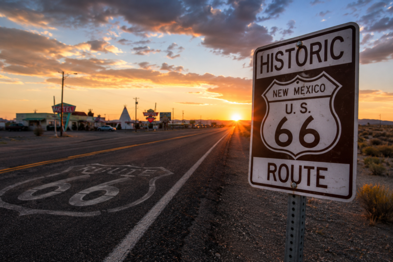
Keep exploring: Rockin’ Hog Media also publishes Route 66 travel stories for readers who enjoy finding overlooked places on the road.
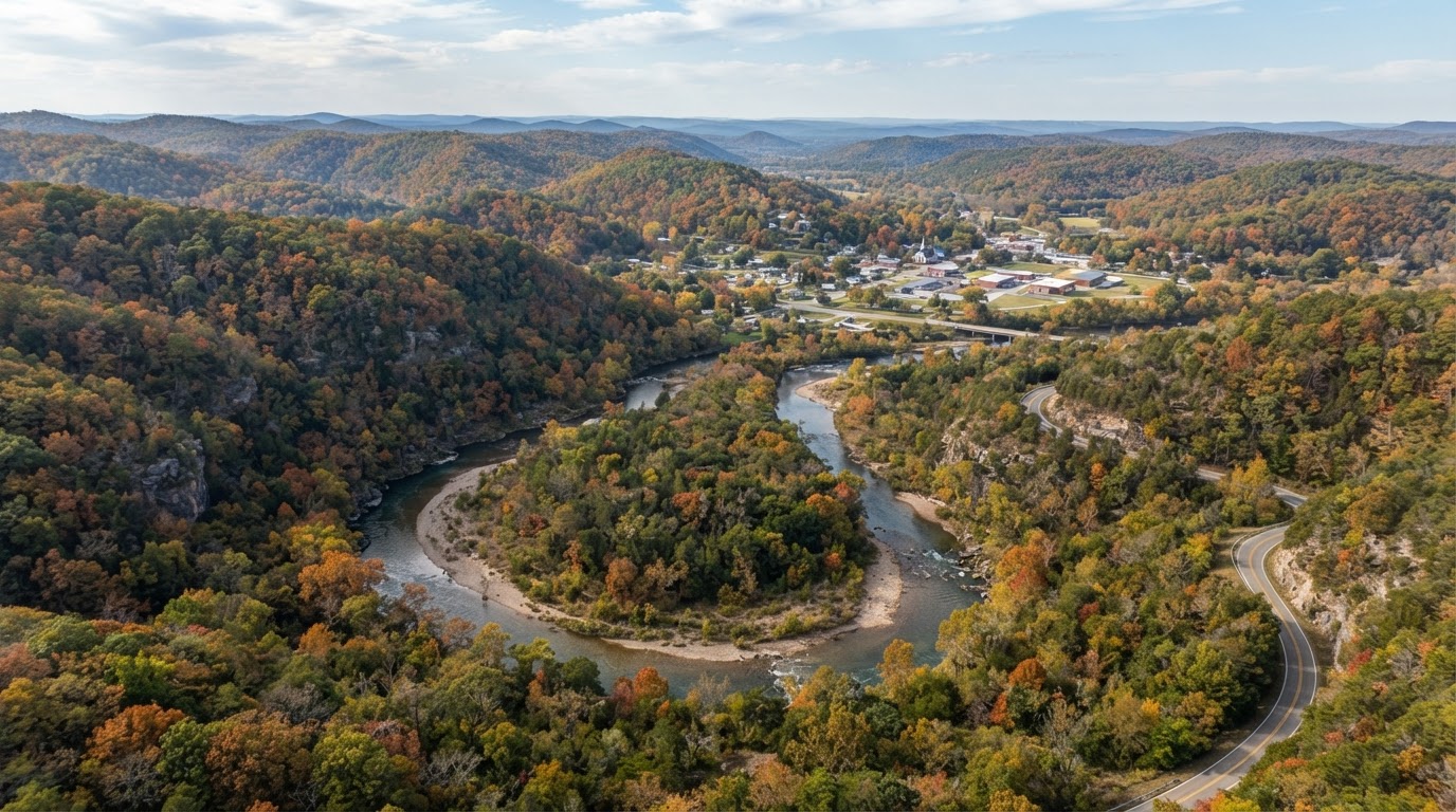
Featured image is an illustrative Ozarks aerial landscape, not an actual drone photograph of a named Arkansas location. Follow the links above to view authentic photographs and photographer credits.
Keep exploring Arkansas
Discover more Northwest Arkansas destinations and practical trip ideas.